Course NotesParking and check-in:A Discover Pass must be displayed on your vehicle in the Columbia Plateau Trail parking lot. If you do not have a Discover Pass, event staff will direct you to alternative parking nearby.
Check-in/packet pickup and finish are a short distance from the gate at the north edge of the Columbia Plateau Trail parking lot. The start is 600 m north along the Columbia Plateau Trail.
Course lengths and climb: - Novice 2.6 km, 35 m, 9 controls
- Intermediate 3.1 km, 45 m, 12 controls
- Short Advanced 3.6 km, 75m , 10 controls
- Medium Advanced 4.5 km, 90m, 16 controls
- Long Advanced 5.6 km, 115m, 18 controls
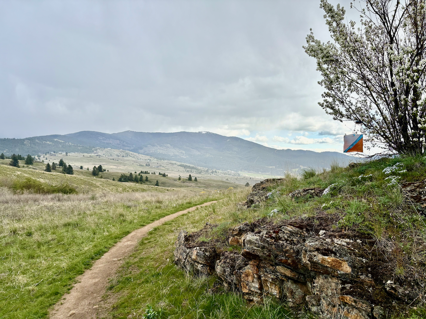
The Map:The map scale is 1:10,000. In order to show more subtle terrain features, the contour interval is 2.5 m. Course descriptions are printed on the map, but separate descriptions will also be available at the start area.
Seasonal change has affected how features appear in the terrain compared to how they appear on the map. In particular spring grass and pine needles and other debris have covered some small paths. As a result, some (but not all) paths mapped as “indistinct paths” are very indistinct, and some (but not all) paths mapped as “small paths” look more like “indistinct paths.” Some small marshes on the map are not very wet.
Features shown as “ruined fences” on the map are just fence posts with no wire on them. All other fences are mapped as “impassable fences” and should not be crossed (except for the gate at the north end of the parking lot). Also, do not attempt to cross any of the large water features (“open water” or “marshes”) or impassable cliffs. Consider these impassable features when planning route choices, especially on the intermediate and advanced courses!
- John Beck, Course Designer